Home
Areas We Serve
Yolo County
Woodland Land Surveyor
Davis Land Surveyor
Sacramento County
Sacramento Land Surveyor
Roseville Land Surveyor
Rancho Cordova Land Surveyor
North Bay, Solano & Contra Costa Counties
Services
Boundary Surveys
ALTA/NSPS Land Title Surveys
Topographic Surveys
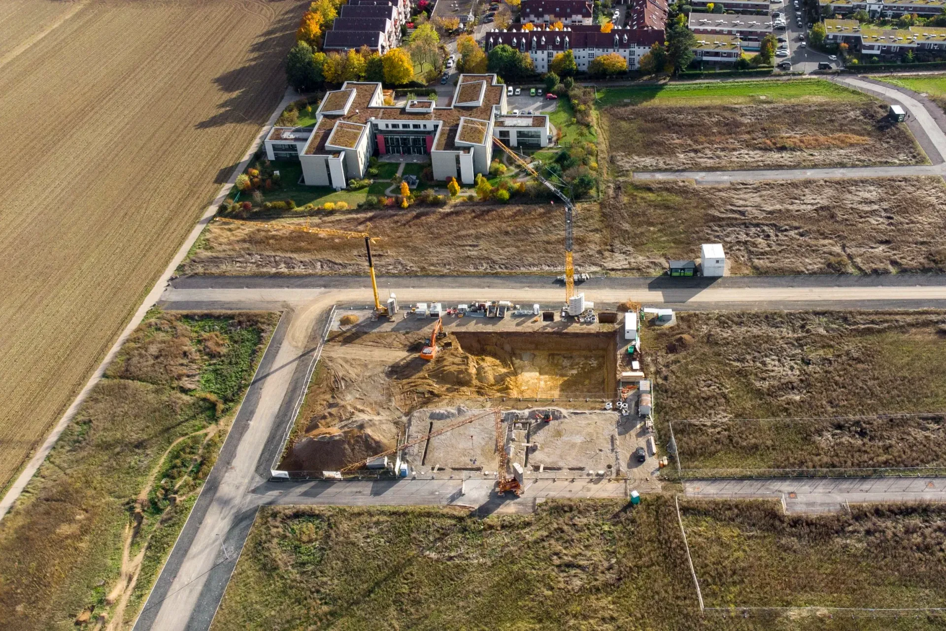
Aerial Surveys
Digital Terrain Models
Construction Staking
FEMA Elevation Certificates
Lot Line Adjustments
Parcel Maps & Final Maps
About
Team
Projects
Resources
Contact
Services
Boundary Surveys
ALTA/NSPS Land Title Survey
Topographic Surveys
Aerial Surveys
Digital Terrain Models
Construction Staking
FEMA Elevation Certificates
Lot Line Adjustments
Parcel Maps & Final Maps
About
Team
Projects
Resources
Contact
Get
in touch
Cell:
(530) 412-1285
Office:
(530) 665-6105
info@cardinal-ls.com
Yolo County
Woodland, CA
Davis, CA
Sacramento County
Roseville, CA
Rancho Cordova, CA
North Bay, Solano & Contra Costa County
Areas We Serve
Resources
2025 PROFESSIONAL LAND SURVEYORS ACT
2025 SUBDIVISION MAP ACT
2026 TABLE A: OPTIONAL SURVEY RESPONSIBILITIES AND SPECIFICATIONS
2026 MINIMUM STANDARD DETAIL REQUIREMENTS FOR ALTA/NSPS LAND TITLE SURVEYS
BPELSG CORNER RECORD TEMPLATE
CLSA SURVEY MONUMENT CONSERVATION
CLSA RIGHT OF ENTRY FOR LAND SURVEYORS