Aerial Surveying & Drone Mapping: High-Speed Precision
Modern Geospatial Solutions for Large-Scale Projects
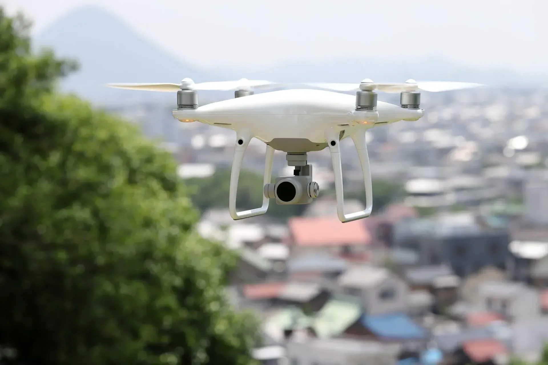
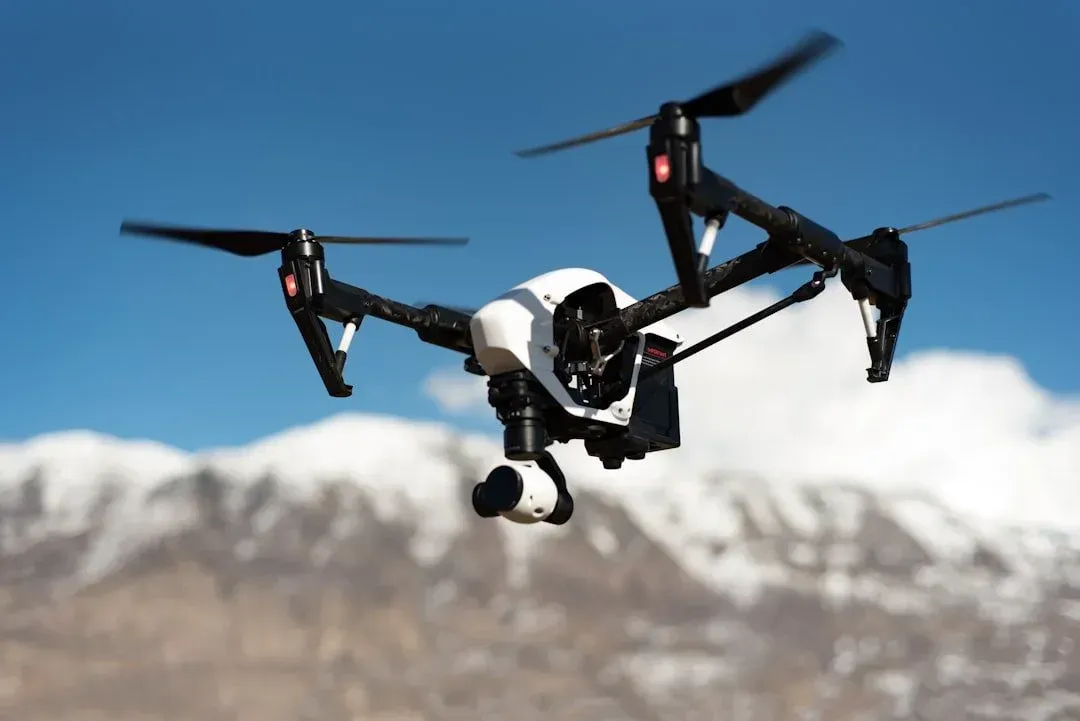
When a project is too large or the terrain is too rugged for traditional ground crews, Cardinal Land Surveying utilizes advanced Unmanned Aerial Vehicles (UAVs) to capture high-resolution data from above. Our aerial surveying services provide a "bird’s-eye view" with ground-level accuracy, delivering comprehensive site data in a fraction of the time.
By combining FAA Part 107 certified pilots with Licensed Land Surveyors (PLS), we ensure that your aerial data isn't just a pretty picture—it’s a legally defensible, survey-grade document.
Why Choose Aerial Surveying?
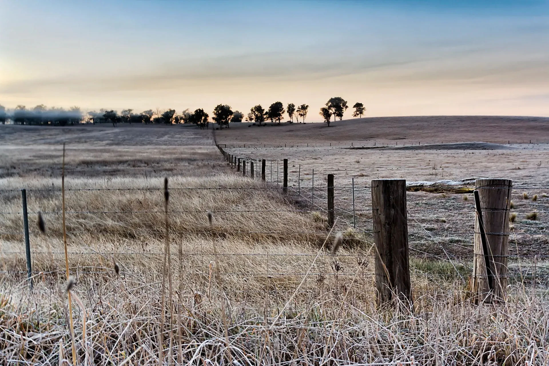
Aerial mapping has revolutionized land development across the North Bay, Solano, and Contra Costa Counties. It is the ideal solution for:
Massive Acreage
Map hundreds of acres in a single day, compared to weeks for a ground crew.

Inaccessible Terrain
Safely survey steep hillsides, dense vegetation, or hazardous marshlands in the Delta region.

Construction Progress Tracking
Get weekly or monthly "orthomosaic" updates to monitor site changes and Earthwork volumes.
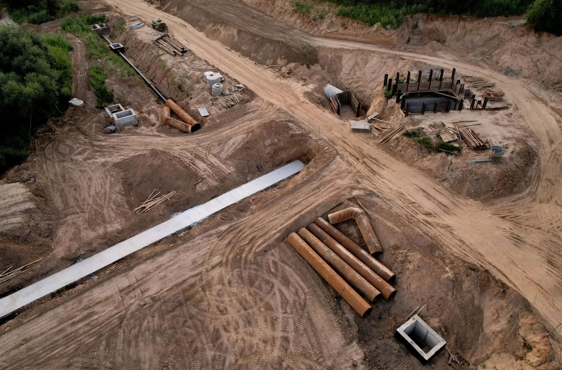
Volume Calculations
Precisely measure stockpiles of dirt, gravel, or debris for accurate inventory management.
Our Aerial Technology: LiDAR & Photogrammetry
We match the sensor to your specific project needs to ensure the best results:
Drone Photogrammetry
Best for:
Site plans, 3D models, and high-res photos.
Key Benefits:
Provides "life-like" visual maps and centimeter-level horizontal accuracy.
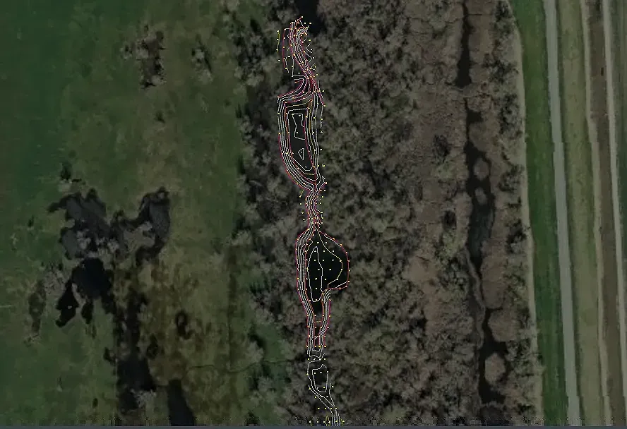
Aerial LiDAR
Best for:
Wooded areas, dense brush, and steep slopes.
Key Benefit:
"Sees through" vegetation to map the actual ground surface (the bare earth).
The Cardinal Difference: Professional Oversight
Many "drone companies" offer mapping, but they lack the legal authority to certify land boundaries or topographic contours. Because we are Licensed Land Surveyors, we provide:
Ground Control Points (GCPs)
We set physical targets on the ground and survey them with GPS to "anchor" the drone data to the real world.
QA/QC Validation
Every aerial map is checked against traditional field shots to ensure vertical and horizontal precision.
CAD Integration
We deliver data in the formats your engineers need—AutoCAD (DWG), Civil 3D, and high-res GeoTIFFs.
Frequently Asked Questions
Is drone surveying legal in urban areas?
Yes. Our pilots are FAA Part 107 certified and we coordinate with local air traffic control (like Buchanan Field or Travis AFB) to ensure all flights in the North Bay and East Bay are fully compliant.
Can drones see through trees?
Using our LiDAR sensors, we can penetrate most canopy cover to get accurate ground elevations, which is nearly impossible with standard drone photography.