


Land Surveyor in Davis, CA
Professional Land Surveying Services for Residential, Commercial & Agricultural Properties
Whether you're planning a home addition, purchasing property, developing land, or preparing for construction, Cardinal Land Surveying provides dependable land surveying services throughout Davis, California. Our licensed land surveyors deliver accurate measurements, reliable mapping, and detailed documentation that help property owners and project teams move forward with confidence.
From established neighborhoods near Downtown Davis to agricultural properties surrounding the city and growing commercial developments, we provide surveying solutions tailored to each project's unique requirements.
Request a quote today to discuss your project with our experienced surveying team.
Trusted Land Surveying Services in Davis
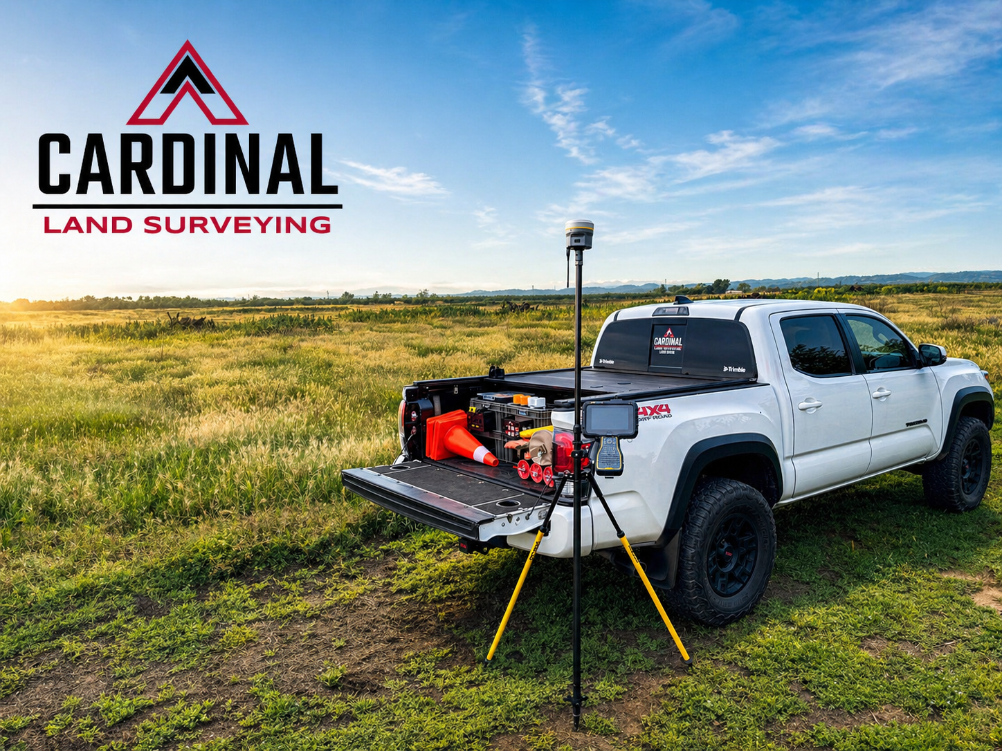
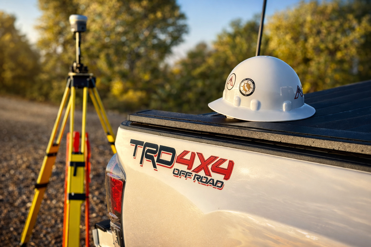
Every successful project begins with accurate data. At Cardinal Land Surveying, we combine decades of professional experience with modern GPS equipment, robotic total stations, and advanced surveying technology to deliver precise results on projects of every size.
We proudly work with:
- Homeowners
- Developers
- Contractors
- Architects
- Engineers
- Agricultural property owners
- Commercial businesses
- Public agencies
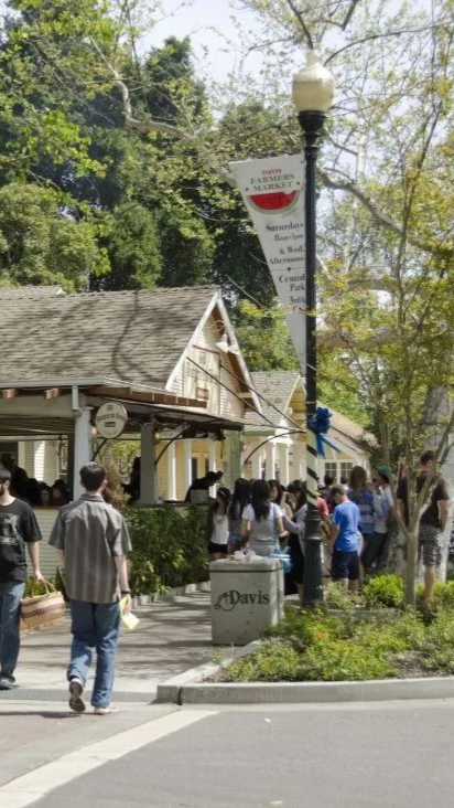
Whether you're planning improvements near UC Davis, developing commercial property along Mace Boulevard, or managing agricultural land outside the city, we provide dependable surveying services designed to keep your project moving forward.
Our Davis Land Surveying Services
Boundary Surveys
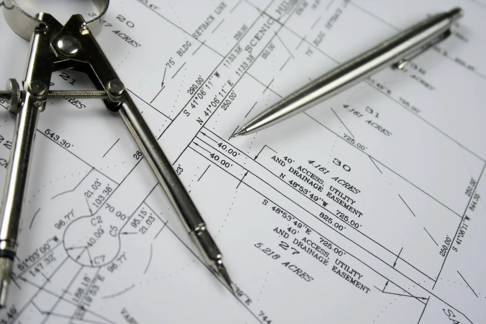
Knowing exactly where your property begins and ends is essential before building fences, additions, retaining walls, or new structures. Our boundary surveys establish property lines using historical records, field evidence, and California surveying standards to provide clear and defensible results.
Topographic Surveys
Topographic surveys capture elevations, drainage patterns, existing improvements, utilities, trees, and other physical features that engineers and architects rely on during the design process.
Whether you're planning a residential remodel or a large commercial development, accurate topographic information helps reduce costly surprises during construction.
ALTA/NSPS Land Title Surveys
Commercial property transactions often require ALTA/NSPS Land Title Surveys that meet nationally recognized standards. Our team works closely with property owners, title companies, lenders, and developers to provide comprehensive surveys that support acquisitions, financing, and development projects.
Construction Staking
Construction staking transfers engineering and architectural plans from paper to the field. We accurately establish building corners, utilities, roadways, and site improvements so contractors can build with confidence and precision.
Parcel Maps & Final Maps
Whether you're creating new parcels or preparing property for future development, we assist with parcel maps, final maps, and subdivision surveying while helping clients navigate local approval requirements.
Lot Line Adjustments
Property owners occasionally need to modify existing property boundaries. We provide professional surveying services that support lot line adjustments while ensuring compliance with local regulations and county requirements.
Why Choose Cardinal Land Surveying?
Local Experience Makes the Difference
Davis offers a unique mix of residential neighborhoods, agricultural land, university facilities, research campuses, and commercial developments. Successfully surveying property here requires more than technical expertise—it requires familiarity with local conditions, municipal requirements, and Yolo County regulations.
Our team is committed to delivering:
- Accurate and dependable measurements
- Responsive communication
- Efficient project scheduling
- Modern surveying technology
- Detailed survey deliverables
- Professional service from start to finish
We understand that every survey becomes the foundation for important decisions, which is why accuracy and attention to detail remain our highest priorities.
Supporting Davis Property Owners & Development
As Davis continues to grow while preserving its agricultural heritage and vibrant community, reliable land surveying remains essential for responsible development.
Our team supports projects including:
- Residential construction
- Commercial developments
- Agricultural properties
- Public infrastructure
- Educational facilities
- Utility improvements
- Property transactions
No matter the size or complexity of your project, Cardinal Land Surveying provides the precise information needed to move forward confidently.
Proudly Serving Davis and Surrounding Communities
In addition to Davis, we proudly provide professional land surveying services throughout:
Woodland
Dixon
Winters
West Sacramento
Sacramento
Vacaville
Yolo County
Solano
County
Frequently Asked Questions (Woodland, CA)
How much does a land survey cost in Davis, CA?
Every property is different. Pricing depends on the size of the property, terrain, available records, accessibility, and the type of survey required. We provide customized estimates for every project.
When should I get a boundary survey?
Boundary surveys are recommended before installing fences, building additions, purchasing property, resolving boundary disputes, or beginning new construction.
Do you work on agricultural properties around Davis?
Yes. We regularly perform surveys for farms, agricultural land, rural parcels, and other properties throughout Yolo County.
What is included in a topographic survey?
A topographic survey documents elevations, contours, utilities, structures, drainage features, vegetation, and other site improvements that engineers and architects use during project planning.
Do you provide surveying services for commercial developments?
Absolutely. We work with developers, contractors, engineers, municipalities, and business owners on projects ranging from small commercial sites to large-scale developments throughout Northern California.
Ready to Start Your Survey?
Whether you need a simple residential boundary survey or support for a large commercial development, Cardinal Land Surveying is ready to help.
Our experienced surveyors are committed to providing accurate results, responsive service, and dependable project support throughout Davis and Northern California.
Contact us today to request your estimate.