Licensed Land Surveyors Serving Yolo County
Precision Mapping for Davis, Woodland & the Sacramento River Valley
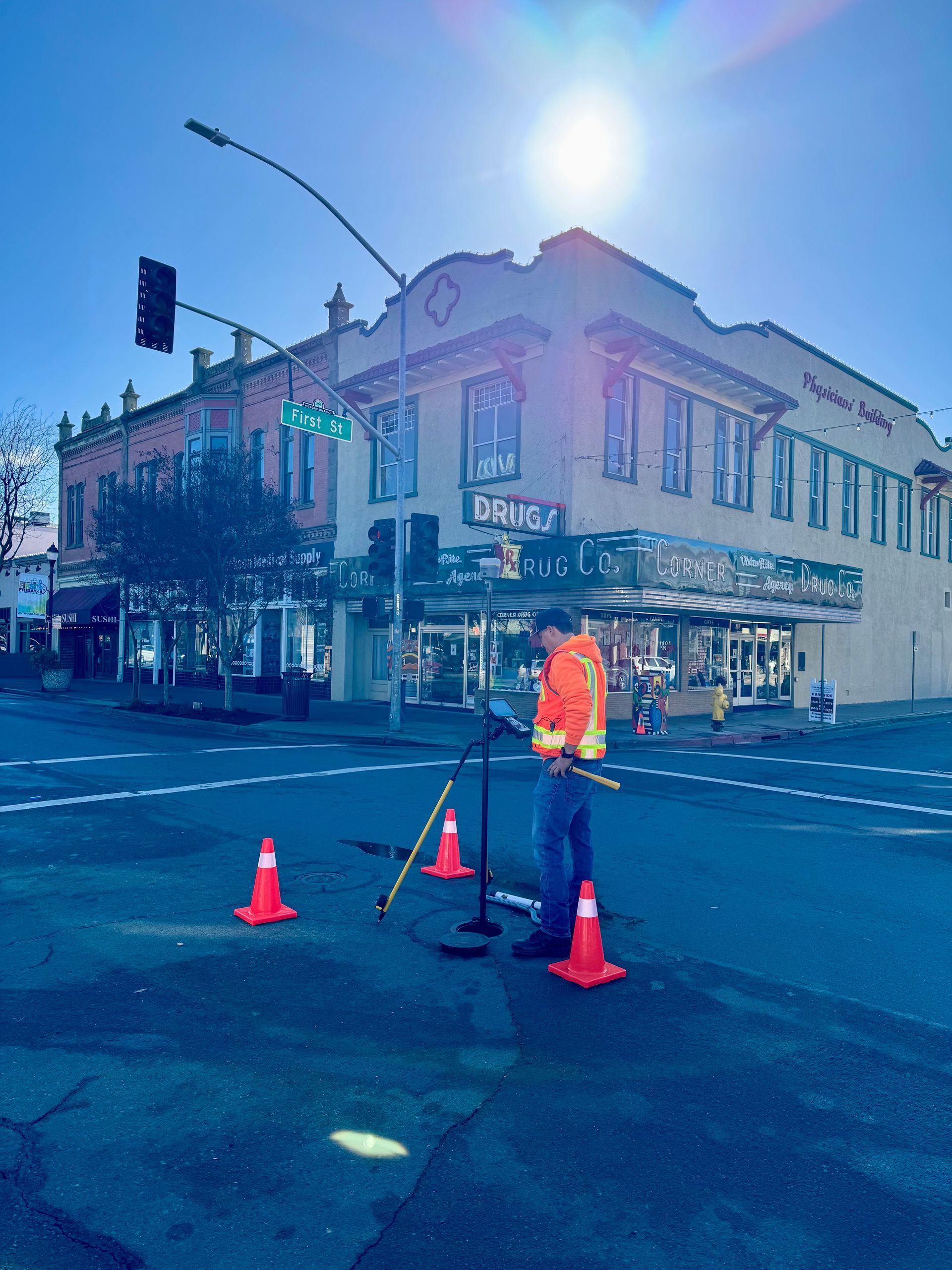
Cardinal Land Surveying provides comprehensive surveying services throughout Yolo County. Whether you are developing commercial property in the Woodland industrial corridor, navigating the strict zoning of Davis, or requiring flood certification in West Sacramento, our team delivers the local expertise and technical precision your project requires.
We understand the specific regional standards of the Yolo County Surveyor’s Office and the unique environmental factors of the Sacramento Valley.
Cities & Communities We Serve in Yolo County
Woodland
Supporting the agricultural hub and growing industrial sectors with topographic mapping and ALTA surveys.
Davis
Specialized boundary and construction staking for high-density residential and university-adjacent developments.
West Sacramento
Expert FEMA Elevation Certificates and port-related commercial surveying in high-flood-risk zones.
Winters
Providing boundary resolution and subdivision mapping for the gateway to Lake Berryessa.
Rural Yolo County
Serving the agricultural communities of Esparto, Dunnigan, and Yolo with large-acreage boundary staking and parcel maps.
Unique Surveying Challenges in Yolo County
Surveying in Yolo County requires more than just high-tech equipment; it requires an understanding of the local landscape's specific hurdles:
Flood Zones & The Delta Influence
A significant portion of Yolo County, particularly West Sacramento and the Clarksburg area, sits within the Sacramento River floodplain. Navigating the requirements for FEMA Elevation Certificates and LOMA applications here is critical for insurance compliance and new construction permits.
Strict Urban Zoning (The Davis Factor)
In cities like Davis, setback requirements and "infill" development standards are extremely rigorous. Accurate Boundary Surveys and Topographic Mapping are essential to ensure that ADUs (Accessory Dwelling Units) or home additions don't violate city ordinances or neighbor easements.
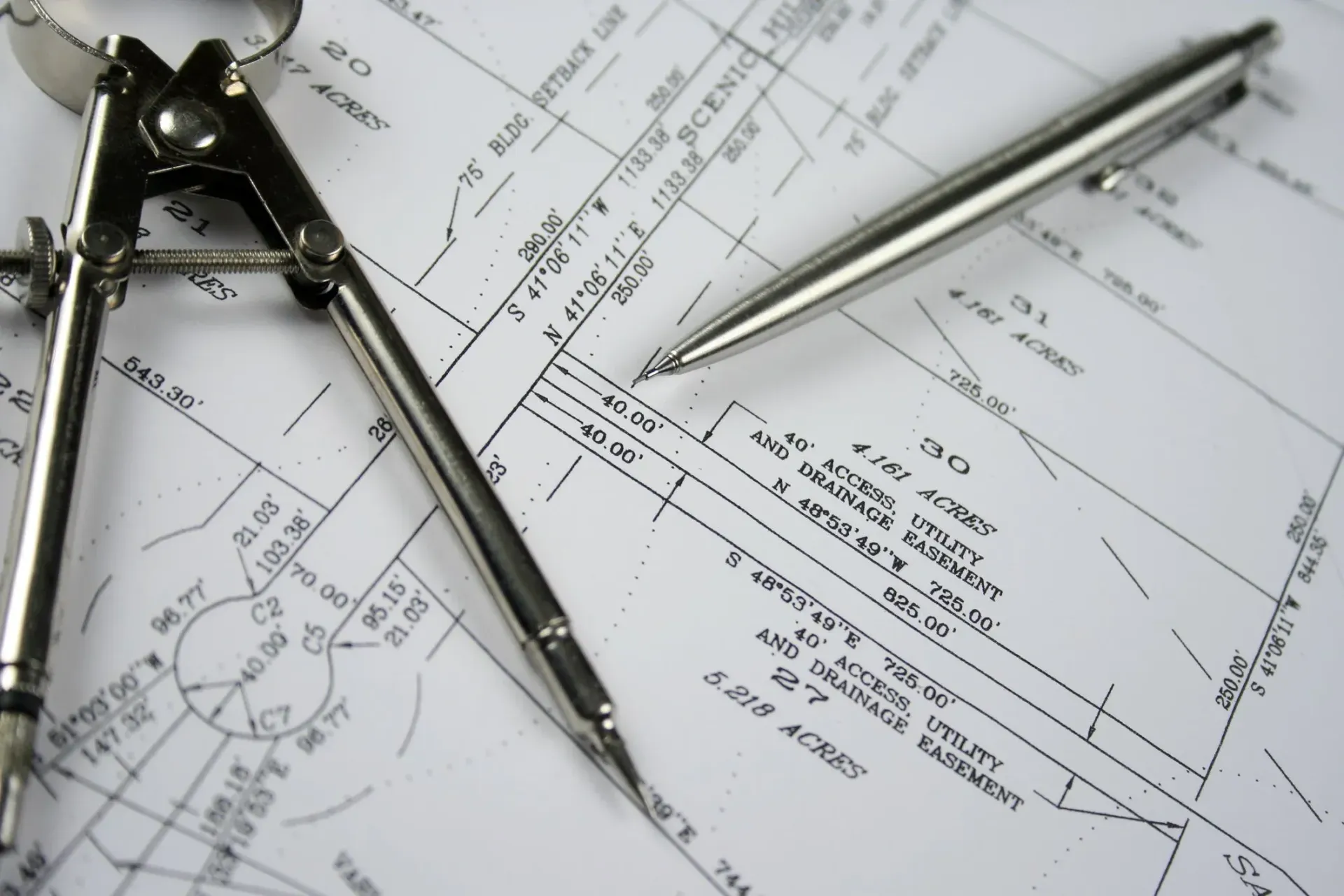
Agricultural Land Splits
Yolo County has deep roots in agriculture. Surveying these large parcels often involves researching century-old deeds and resolving discrepancies in "Section Corner" monuments that may have been disturbed by decades of farming and heavy machinery.
Yolo County Surveying FAQs
Does Yolo County require a Record of Survey for every boundary project?
Under the California Professional Land Surveyors Act, if we set new monuments or find a material discrepancy with the existing public record, a Record of Survey or Corner Record must be filed with the Yolo County Surveyor in Woodland. We handle the entire filing process for our clients.
How do the Sacramento River flood zones affect my survey?
If your property is in a Special Flood Hazard Area (SFHA), your building permit or lender will likely require a FEMA Elevation Certificate. We tie your property’s elevation to the North American Vertical Datum (NAVD88) to verify exactly how high your structure sits relative to the Base Flood Elevation.
Can you help with Lot Line Adjustments in the City of Woodland?
Yes. We work directly with the Woodland Community Development Department to prepare the required exhibits and legal descriptions for Lot Line Adjustments (LLA) and Mergers.
Ready to start your project?
Get a precise, professional estimate for your land survey today.