Professional Land Surveying Services in Sacramento, CA
When accuracy matters, property owners, developers, engineers, contractors, and municipalities throughout Sacramento trust experienced land surveyors to provide the precise data needed for successful projects.
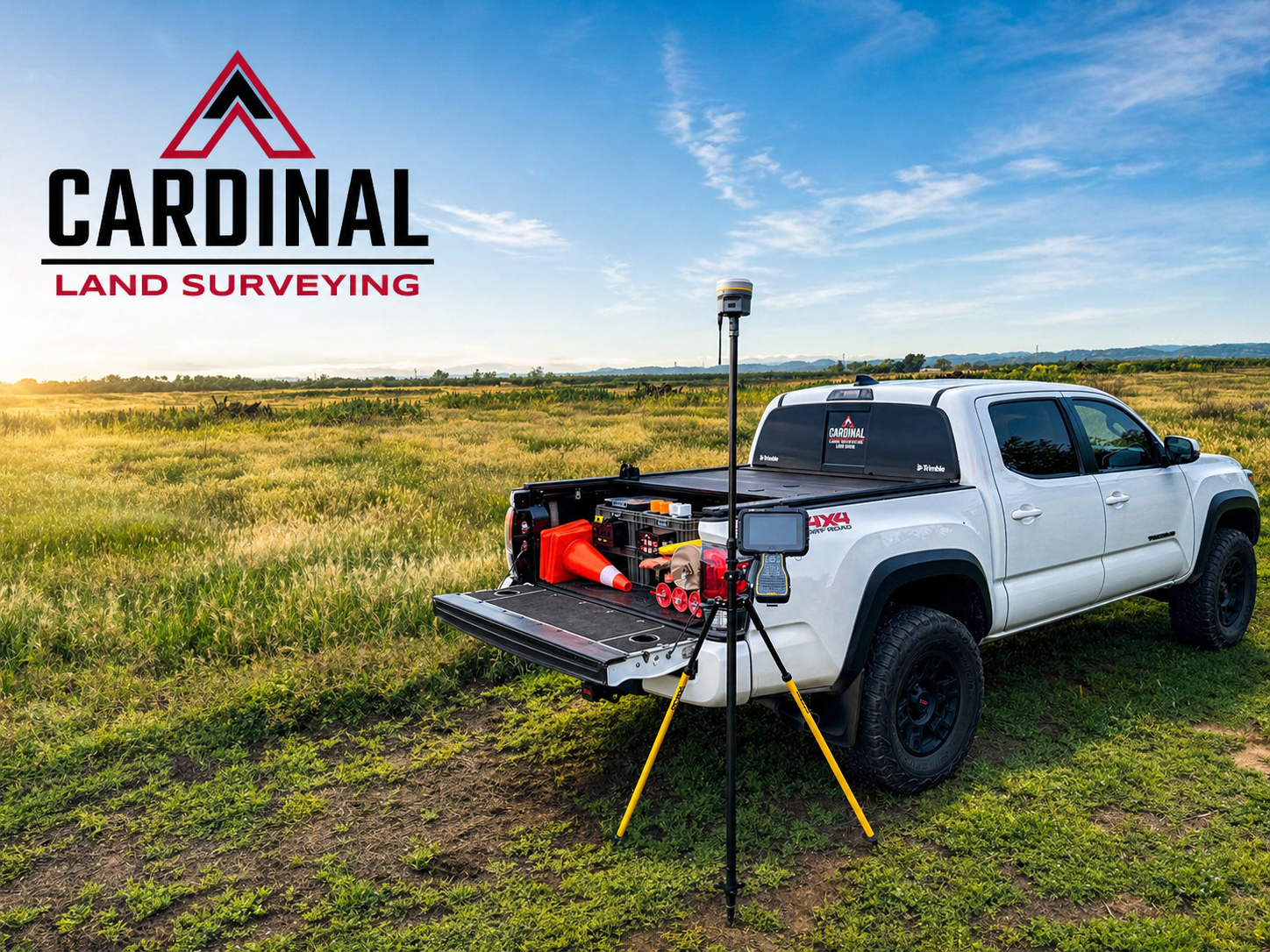

Cardinal Land Surveying provides comprehensive land surveying services throughout Sacramento and the surrounding region, helping clients move projects forward with confidence. Whether you are planning a residential addition, commercial development, subdivision, roadway improvement, utility installation, or property acquisition, our team delivers dependable surveying solutions backed by professional expertise and advanced technology.
As one of Northern California's fastest-growing metropolitan areas, Sacramento continues to experience significant residential, commercial, and infrastructure development. Accurate land surveying plays a critical role in ensuring projects meet local requirements, avoid costly delays, and proceed smoothly from planning through construction. Sacramento County maintains extensive survey records and map review requirements that make professional surveying an essential part of many development projects.
If you're searching for a land surveyor near Sacramento, Cardinal Land Surveying is ready to help.
Land Surveying Services We Provide in Sacramento
Boundary Surveys
Boundary surveys establish the precise location of property lines and identify potential encroachments, easements, and property conflicts. Whether you're installing a fence, resolving a property dispute, purchasing land, or planning improvements, a boundary survey provides the clarity you need.
Topographic Surveys
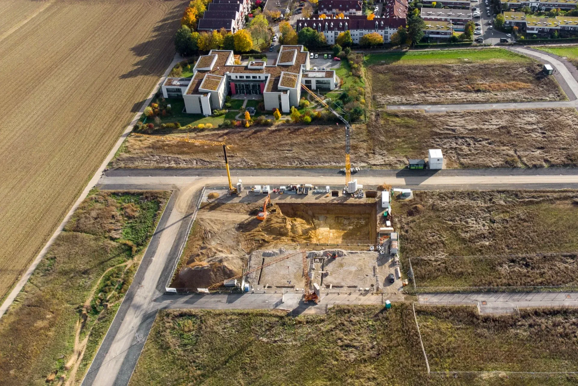
Topographic surveys document existing site conditions, including elevations, contours, drainage patterns, structures, utilities, and other physical features. These surveys are essential for engineering design, grading plans, drainage studies, and development projects.
Construction Staking
Construction staking transfers design plans from paper to the field, helping contractors build improvements in the correct location and elevation. Our team provides accurate staking for residential, commercial, municipal, and infrastructure projects.
ALTA/NSPS Land Title Surveys
Commercial property transactions often require ALTA/NSPS Land Title Surveys. These detailed surveys provide critical information for lenders, title companies, attorneys, and property owners during acquisitions and development projects.
Parcel Maps & Subdivision Mapping
We assist developers and property owners with parcel maps, lot splits, subdivision mapping, and land division projects throughout Sacramento County.
FEMA Elevation Certificates
Properties located within flood-prone areas may require elevation certificates for insurance or development purposes. Our team provides accurate elevation data to support compliance with FEMA requirements.
Record of Survey Preparation
When required, we prepare and file Records of Survey in accordance with California land surveying regulations and local agency requirements. County survey offices throughout California maintain survey records that help establish and preserve property boundaries.
Land Surveying Services We Provide in Sacramento
Our surveying team serves clients throughout:
Sacramento
West Sacramento
Elk Grove
Rancho Cordova
Citrus Heights
Folsom
Carmichael
Fair Oaks
Orangevale
Yuba City
North Highlands
Antelope
Natomas
Davis
Woodland
Dixon
Roseville
Rocklin
Lincoln
Winters
And all surrounding Northern California communities

Why Choose Cardinal Land Surveying for Sacramento?
Local Experience
Our team understands the unique development challenges, permitting processes, and surveying requirements throughout Sacramento County and Northern California.
Advanced Technology
We utilize modern surveying equipment and data collection methods to provide highly accurate and reliable results.
Responsive Communication
Survey projects often impact critical timelines. We work closely with clients to provide clear communication and timely project delivery.
Comprehensive Support
From residential property surveys to large-scale development projects, we provide the surveying support needed to keep projects moving forward.
Common Surveying Challenges in Sacramento
Urban Development & Redevelopment
Sacramento's continued growth creates increasing demand for accurate property boundary verification, topographic mapping, and construction layout services.

Floodplain Considerations
Areas near the Sacramento River, American River, and surrounding waterways often require specialized elevation and flood-related surveying services.

Aging Property Records
Many established Sacramento neighborhoods contain historic parcels where boundary research and field verification are critical for accurate property line determination.
Infrastructure Expansion
Roadway improvements, utility upgrades, and public works projects throughout the region require detailed surveying and mapping support.
Frequently Asked Questions
How much does a land survey cost in Sacramento?
Survey costs vary depending on property size, terrain, accessibility, available records, and the type of survey required. Boundary surveys, topographic surveys, and ALTA surveys all have different scopes of work. Contact Cardinal Land Surveying for a customized quote.
How long does a boundary survey take?
Most residential boundary surveys can be completed within a few weeks, depending on research requirements, field conditions, and project complexity. Larger commercial properties may require additional time.
Do I need a survey before building a fence?
In many cases, yes. A boundary survey helps ensure the fence is installed on the correct property line and can prevent future disputes with neighboring property owners.
What is the difference between a boundary survey and a topographic survey?
A boundary survey establishes property lines and legal boundaries. A topographic survey maps existing site features, elevations, contours, and improvements on the property.
What is an ALTA Survey?
An ALTA/NSPS Land Title Survey is a detailed survey commonly required for commercial real estate transactions. It provides information needed by lenders, title companies, attorneys, and developers.
Can you survey large rural properties outside Sacramento?
Yes. We provide surveying services for agricultural land, ranches, development properties, and large acreage parcels throughout Sacramento County and surrounding areas.
Do I need a survey before purchasing property?
While not always required, obtaining a survey before purchasing property can help identify boundary issues, easements, encroachments, and other potential concerns before closing.
Can you help with lot splits and parcel maps?
Absolutely. We assist property owners and developers with lot line adjustments, parcel maps, subdivisions, and land division projects throughout the Sacramento region.
Request Professional Land Surveying Services in Sacramento
Whether you're planning a residential project, commercial development, property acquisition, or infrastructure improvement, Cardinal Land Surveying provides accurate surveying solutions throughout Sacramento and Northern California.
Contact our team today to discuss your project and request a survey proposal.