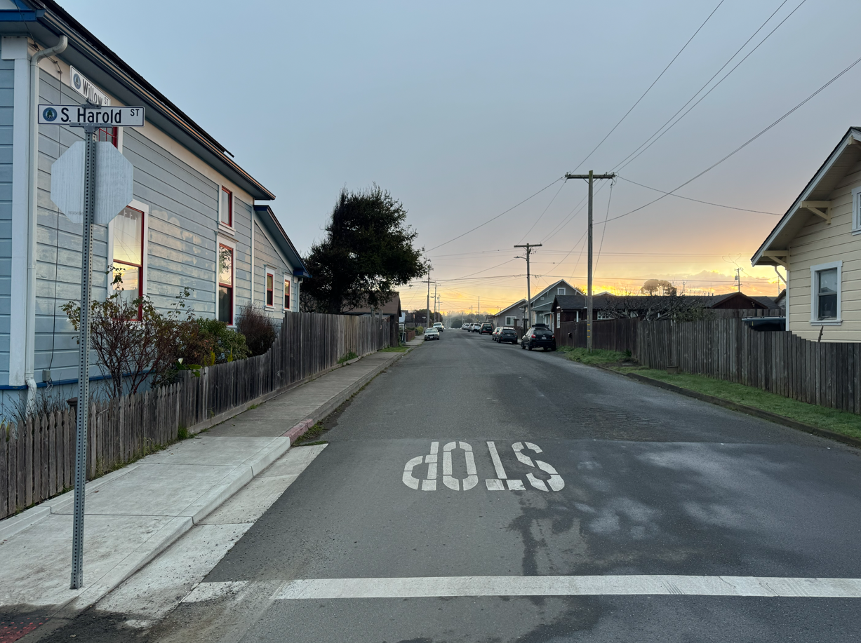
Cardinal Land Surveying was retained by Progression Engineering on behalf of the City of Fort Bragg to provide Right-of-Way Mapping and a Topographic Survey for Engineering Design supporting ADA improvement efforts along Willow Street between South Harold Street and South Lincoln Street.
The project involved detailed field mapping and high-accuracy survey data collection at multiple intersections within an active public roadway corridor. Existing sidewalks, roadway geometry, utilities, drainage features, and pedestrian accessibility improvements were carefully documented to support ADA compliance evaluation and future engineering design.
Comprehensive right-of-way mapping and existing conditions documentation were performed to provide reliable base mapping for municipal infrastructure improvements focused on pedestrian safety, accessibility, and long-term public benefit.
This project reflects Cardinal Land Surveying’s commitment to delivering precise survey data, dependable mapping solutions, and professionally defensible survey products for public infrastructure and transportation improvement projects throughout Northern California.